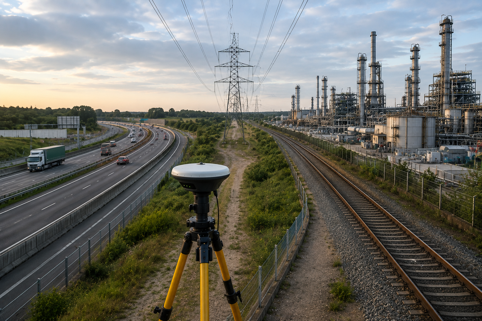
Advanced survey systems for transmission corridors, pipeline alignments, railway routes, utility networks, and large-scale linear infrastructure planning.
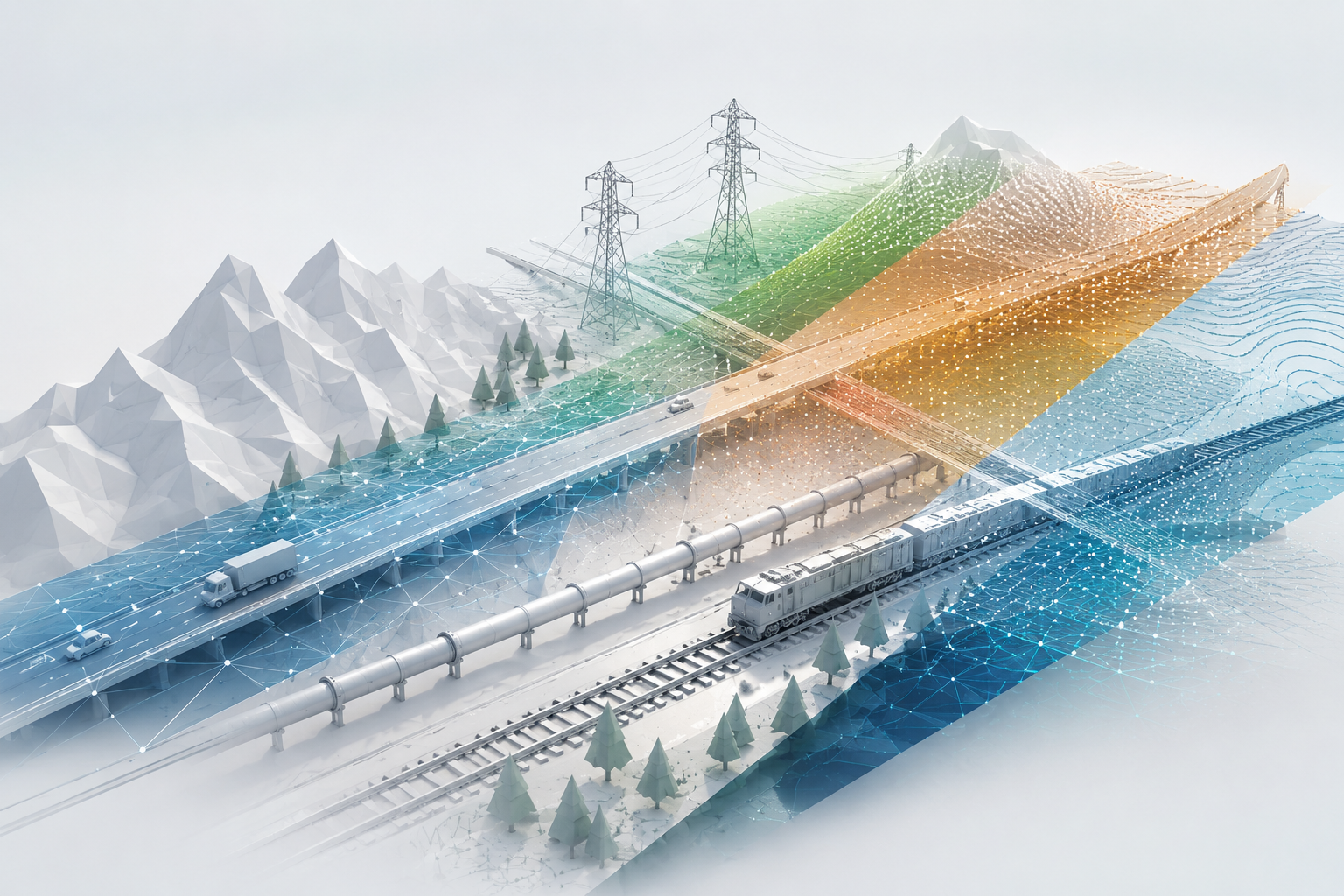
Integrated corridor survey workflows combining drone mapping, LiDAR intelligence, DGPS precision, and terrain analysis systems.
High-accuracy alignment systems for transmission infrastructure and utility routing projects.
Corridor intelligence systems for oil, gas, water, and industrial pipeline routes.
Survey workflows for railway expansion, route optimization, and infrastructure planning systems.
Terrain intelligence systems supporting feasibility, slope analysis, and infrastructure scalability.

Build scalable transmission, utility, railway, and pipeline infrastructure systems with SATMOS corridor intelligence workflows.