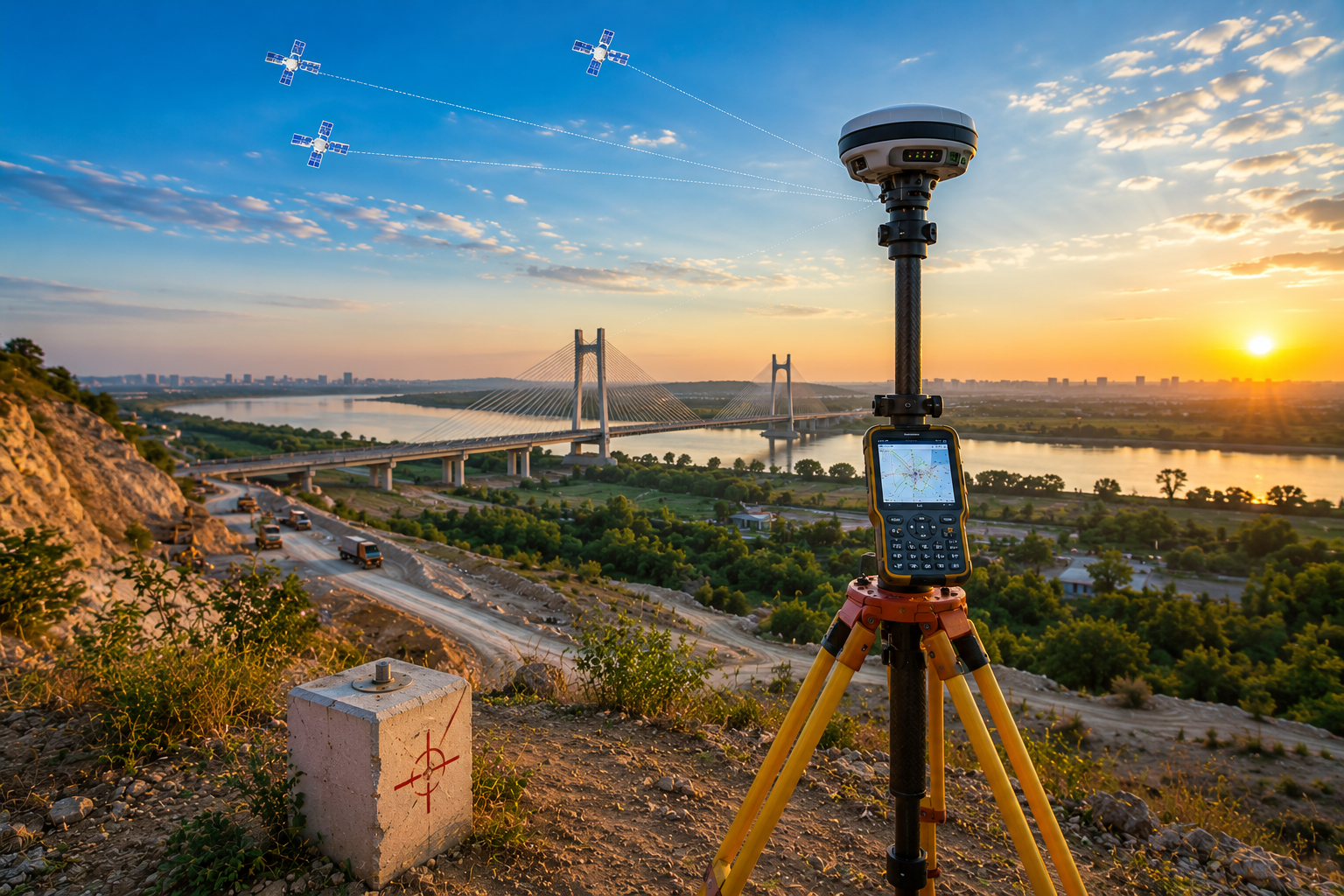
High-accuracy DGPS and RTK survey systems for infrastructure alignment, geodetic control, corridor positioning, and precision engineering workflows.
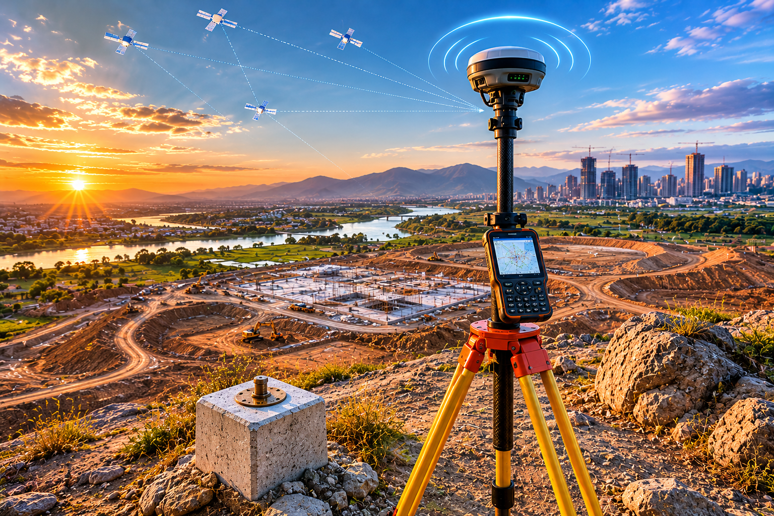
SATMOS DGPS and RTK workflows provide infrastructure-grade positioning intelligence for geodetic control, alignment verification, and precision engineering systems.
Control point systems for infrastructure layouts, corridor positioning, and engineering precision workflows.
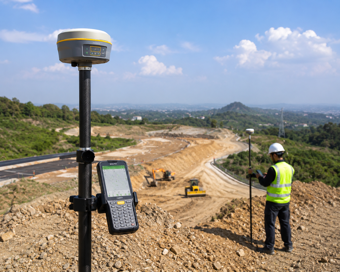
Real-time positioning systems designed for infrastructure alignment and execution-scale precision.
Precision positioning workflows for highways, railways, utilities, and industrial corridors.
Build high-precision infrastructure workflows with SATMOS DGPS and RTK positioning systems for alignment, control, and engineering execution.