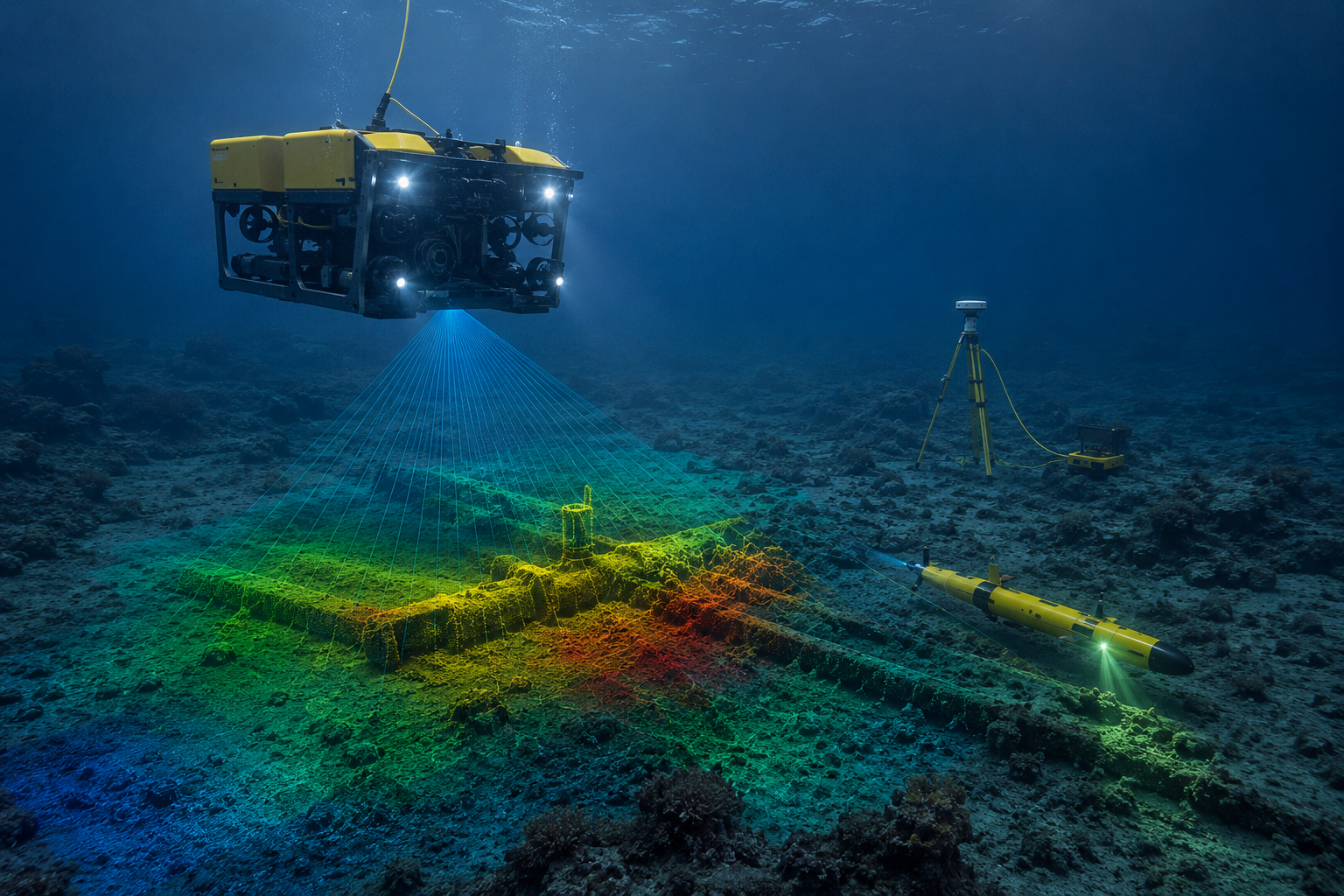
Advanced hydrographic and bathymetric survey systems for waterways, reservoirs, coastal infrastructure, underwater terrain analysis, and marine intelligence workflows.
SATMOS hydrographic workflows provide underwater terrain intelligence for reservoirs, waterways, marine infrastructure, and coastal engineering systems.
Underwater terrain intelligence for reservoirs, waterways, and marine infrastructure systems.
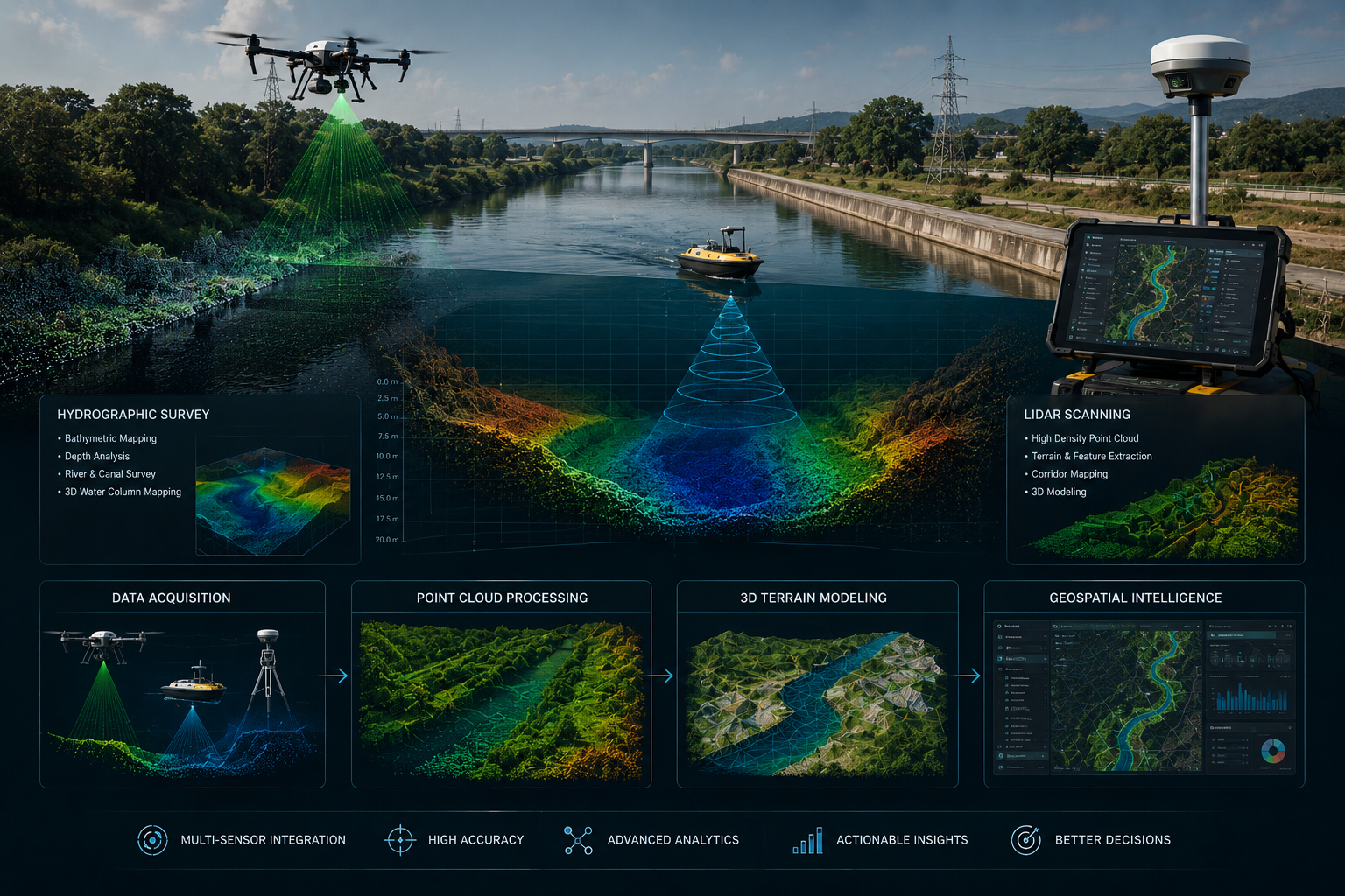
Advanced sonar workflows for depth analysis, underwater visibility, and marine operational intelligence.
GIS-enabled hydrographic systems for marine infrastructure and underwater spatial analysis.

Build marine infrastructure intelligence systems with SATMOS hydrographic, bathymetric, and underwater terrain survey solutions.